📣 Now Live: Scribble Maps + Google Drive™ Integration
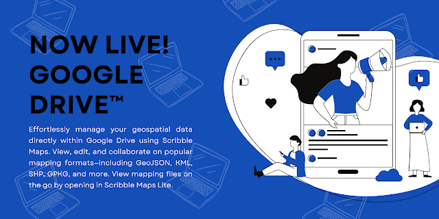
Your mapping workflow just levelled up. We’re thrilled to announce that Scribble Maps is now officially integrated with Google Drive , available in the Google Workspace Marketplace . That means no more toggling between tools, manually uploading files, or worrying about version control. You can now open, edit, and collaborate on your mapping files directly from Google Drive. Whether you're working with GeoJSON, KML, SHP, GPKG, CSV, or GPX , Scribble Maps handles it instantly. 🗺️ Why This Matters For planners, field teams, educators, and analysts alike, this integration is a game-changer. Scribble Maps is built for real work , not just visualizations. Now, that work happens right where your data lives . Open geospatial files directly from Drive—no downloads required Edit on desktop or mobile , instantly Collaborate in real-time with your team using familiar Google tools Perform advanced tasks like buffer zones , polygon editing , filtering , and spatial analysis...