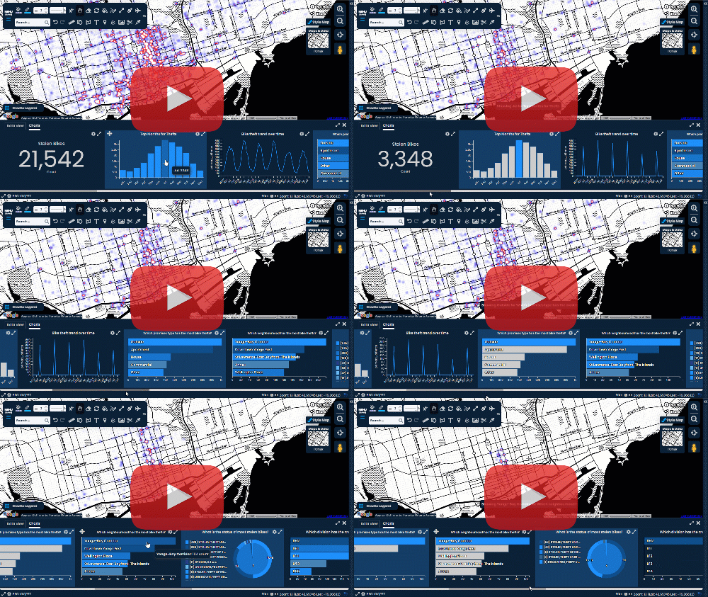
The Beauty and Functionality of Pattern Fill
A Guide to Creating Engaging and Accessible Visualizations
What is Pattern Fill?
Pattern Fill is a popular graphic design technique that refers to a repeating visual design or texture applied to a shape or area. The pattern can range from a simple design, such as a series of parallel lines or dots, to a more complex design, such as a repeating graphic element, photograph, or abstract artwork. The basic feature of pattern fill is that it seamlessly repeats to create a visually consistent and appealing effect.
Pattern fill is a useful tool for creating backgrounds, textiles, and other types of designs. When used in backgrounds, pattern fills can add a decorative touch to the design, making it more visually appealing. By using pattern fills, designers, can create unique and eye-catching patterns that appeal to their target market.
But, pattern fill is not just for aesthetics. It also serves as an essential tool in maps, where it can add texture and visual interest to represent specific features on the map.
With the advancement of technology, pattern fill has become widely accessible in many design and mapping software. Pattern fill can also be applied to various map elements, such as land cover types, water bodies, roads, and buildings. This can help create a better understanding of the map, especially when the information is complex.
“The greatest value of a picture is when it forces us to notice what we never expected to see.” – John Tukey
Why Use Pattern Fill?
Pattern fill is a versatile technique that can be used to add visual interest and texture to a map. When representing a particular area with a symbol, pattern fill can be used to highlight certain features or areas on a map.
For example, pattern fill can be used to show different land cover types on a map, such as a series of parallel lines to represent a river or a repeating graphic element to represent a forest, grassland, or urban area. Using pattern fills you can create unique and eye-catching patterns that appeal to your target audience.
Pattern fill can also be used to show the distribution of certain features, such as bodies of water or vegetation. Using pattern fill-in digital mapping can help to make the map more visually appealing and easier to interpret, providing additional context and information about the features and areas shown on the map. Pattern fill can be combined with other map elements, such as symbols, labels, and colours, to create a more detailed and informative map.
In addition, pattern fill can be used to make maps more inclusive and accessible. For example, people with colour vision deficiencies may have difficulty distinguishing between different colours on a map. Pattern fill can be used to supplement colour coding, making it easier for everyone to interpret the map's information.
Use Case - Environmental Consulting
In the field of environmental consulting, pattern fill is a powerful tool that can be used to create visually engaging maps that communicate complex environmental data to clients and stakeholders. By using different pattern fills to represent different features on a map, such as land cover types, contamination levels, and land use patterns, environmental consultants can provide their clients with a clear and concise visualization of their findings.
For example, pattern fill can be used to create maps that display the extent of contamination in a particular area. Different pattern fills can be used to distinguish between contaminated and non-contaminated areas, making it easy for clients and stakeholders to understand the results of environmental assessments.
Pattern fill can also be used to show the distribution of various land uses, such as residential, commercial, and industrial areas. By using different pattern fills to represent each land use type, environmental consultants can create maps that clearly illustrate the spatial distribution of different activities in a particular area.
Overall, pattern fill is an important tool for environmental consultants because it allows them to create visually engaging maps that effectively communicate complex environmental data to clients and stakeholders. By using pattern fills to represent different features on a map, environmental consultants can provide their clients with a clear and concise visualization of their findings, making it easier for them to understand the results of environmental assessments and make informed decisions.
How to add Pattern Fill with Scribble Maps
- Select the Fill Picker.
- Select the pattern from the list of options.
- Set the pattern Space & Size or Width & Shape.
- Select the "Fill/Change Colour Tool" in the top toolbar.
- In Map View, hover anywhere on the polygon's fill area to highlight and click it.
Change the pattern of the fill area of a shape (circle/rectangle/polygon)


Comments
Post a Comment
Comments are moderated, thanks for your patience.