GIS & Advanced Operations
We have rolled out our first version of our GIS and advanced operations panel. This panel lets you do some really cool things like bulk editing, creating travel time polygons, grids, and more. You can even create your own scripts for later usage. To access this panel click "Scripts & GIS" under menu.
Create Circle at Point: Draw a Circle around point with radius.
Travel Time Point Web:Shows travel times from a start point to every point in a group (Max: 100 Points)
Useful if you want to reverse the direction of arrows or measure distance from the opposite end.
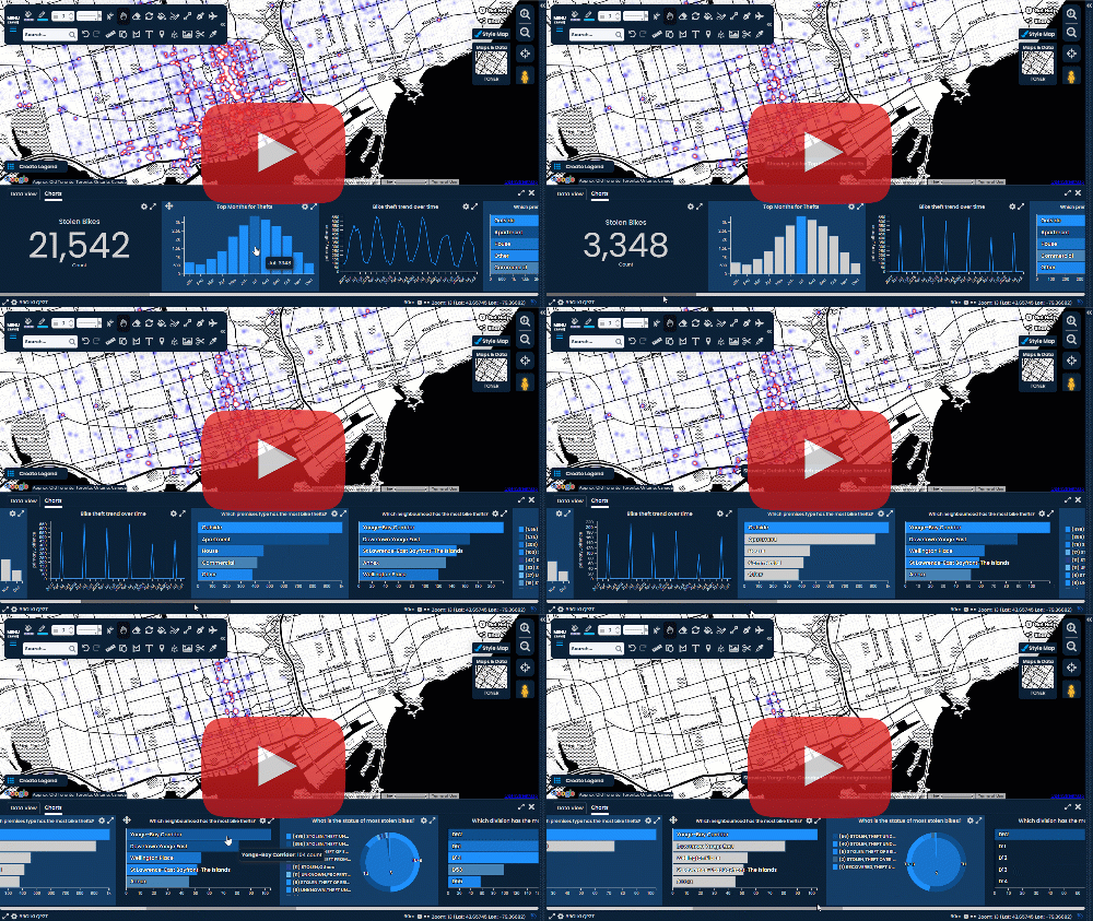
Scribble Maps YouTube Video on GIS Panel:
GIS Operations Overview
This screen allows you to do sophisticate operations such as creating exact circles, measuring distances along lines, changing marker styles in bulk and more!
To get started simply navigate the folders on the left to find the operation you are looking for.
Create Line By Points: Draw a line between two latitude / longitude points.
- Input Title (optional)
- Input Start Lat,Lng
- Input End Lat,Lng
- Select a color for the line.
- Click Create Line.
Create Circle at Point: Draw a Circle around point with radius.
- Input Title (optional)
- Input middle Lat,Lng
- Input Radius
- Click Create Circle
If the marker is tall the circle might look off center but this is an optical illusion.
Draw Circle Around Marker: Draw a Circle around a marker with a radius.
- Input title for new circle (optional).
- Select Marker to draw circle at.
- Input Radius
- Click Create Circle
If the marker is tall the circle might look off center but this is an optical illusion.
Draw Grid: Allows you to draw a grid between two markers
- Select first marker.
- Select second marker.
- Select cell count.
- Select grid color.
- Select grid line thickness.
- Click Create Grid.
Travel Time Polygon: Draws a travel time polygon around a marker
- Select type.
- Select start (marker).
- Select Range in minutes.
- Select Line Color.
- Select Fill Color.
- Click Create Travel Time Polygon.
Travel Time Grid: Creates a grid of different colored dots representing travel time.
- Select type.
- Select start marker.
- Select Range in km.
- Select Colors.
- Click Create Travel Gid.
Travel Time Point Web:Shows travel times from a start point to every point in a group (Max: 100 Points)
- Select type.
- Select start (pre-placed marker).
- Select Group.
- Select Colors.
- Click Create Travel Web.
Line colors are adjusted percentage wise to the longest duration to allow comparison of similar duration groupings.
Distance Along Line: Allows you to place a marker at a distance along a line.
- Select Line Overlay.
- Select Marker to put at distance.
- Input distance and select unit.
- Click Mark Distance.
Distances longer than the line will be put at the end.
Centroid: Will plot centroid for all points in a group with marker.
- Select Marker Style
- Select Group
- Click Plot Centroid
Center Of Mass: Will plot center of mass for all points in a group with marker.
- Select Marker Style
- Select Group
- Click Plot Centroid
Center: Will plot center for all points in a group with marker.
- Select Marker Style
- Select Group
- Click Plot Center
Reverse Points: Allows you to reverse the points of a shape.
- Select Overlay.
- Click Reverse Points
Useful if you want to reverse the direction of arrows or measure distance from the opposite end.
Scribble Maps YouTube Video on GIS Panel:


.png)


.png)


.png)


Comments
Post a Comment
Comments are moderated, thanks for your patience.