Introducing Parcel Data!
Scribble Maps provides U.S. Parcel Data to Pro Biz users
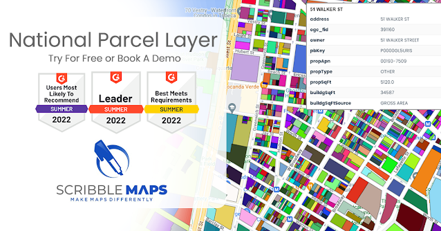
That’s right, Scribble Maps is excited to announce the arrival of U.S. Parcel Data for Pro Business accounts, providing you with even more tools and data for your digital maps.
Who doesn’t like having more information at the click of a button?
Know… before you buy
Have you ever been curious to know more about the homes, amenities, and businesses in a particular neighbourhood before making a purchase? No one wants to experience buyer's remorse. Make sure the area has everything you’re looking for before you buy.
Maybe you need to determine which locations would be impacted by pipeline construction.
Affected municipalities and neighbourhoods might want to know how many, or who would be inconvenienced by the project.
Perhaps you need to determine if a location is suitable for your fledgling enterprise and whether the area could have more competition than initially expected. Don’t let your start-up fail by choosing an already saturated market.
Scribble Maps has you covered
Whatever the task you might be facing, Scribble Maps’ built-in GIS-mapping technology can now help you analyze, filter, and map out, property and parcel data anywhere in the United States, providing an even more in-depth digital mapping experience.
Scribble Maps wants to help equip you with even more information to help you make the most informed decisions possible for yourself or your business.
We put the power of data in your hands
The data harnessed from parcel boundaries can help users map and analyze property characteristics across an entire area, or multiple areas of interest.
Parcel boundaries are contained in polygonal property outlines as a visual representation.
With all of the land parcel data, you have the power to conduct sophisticated spatial analyses such as proximity, overlay, and buffer zone operations.
Divide and conquer
The U.S. is made up of a vast multitude of land parcels with legal boundaries and borders. Land parcel data includes information such as owners, assessments, and uses. Parcel boundaries surround everything on a map, including homes, parks, commercial buildings, farms, and more.
Having all this data and other characteristics in a visual format is paramount to quickly, and easily, understanding the information. This can only help in making the best possible decisions about land and how it should be used.
Simple yet sophisticated
Adding Parcel Data to your map is extremely easy. With just a few short clicks, you will see all the Parcel Boundaries added to the map area. Then, if you want to know more, simply click on the parcel you would like more information on.
You can even get a full report of the parcels. What does that mean?
By clicking Get Report:
- Additional information will be added to the parcel's details.
- The parcel is filled in with your chosen Fill Color.
- New polygons are created and added to the Base Layers to represent the parcels.
- All new information is added as Attributes in the Data View.
Regardless of the project, Parcel Data will help provide the additional information necessary to make a well-informed decision. Don’t get stuck with buyer's remorse, upgrade to a Pro Business account to harness the power of Parcel Data in your hands.


